
While Tusheti is certainly most well-known for its multi-day, village to village trekking, there are a lot of great single-day options, especially if you have your own transportation. These are our top 5 recommendations for single-day hikes that don’t require an overnight in a different location. In fact, you could base from Upper or Lower Omalo to have a central location and easy access to each of these.
Diklo Fortress
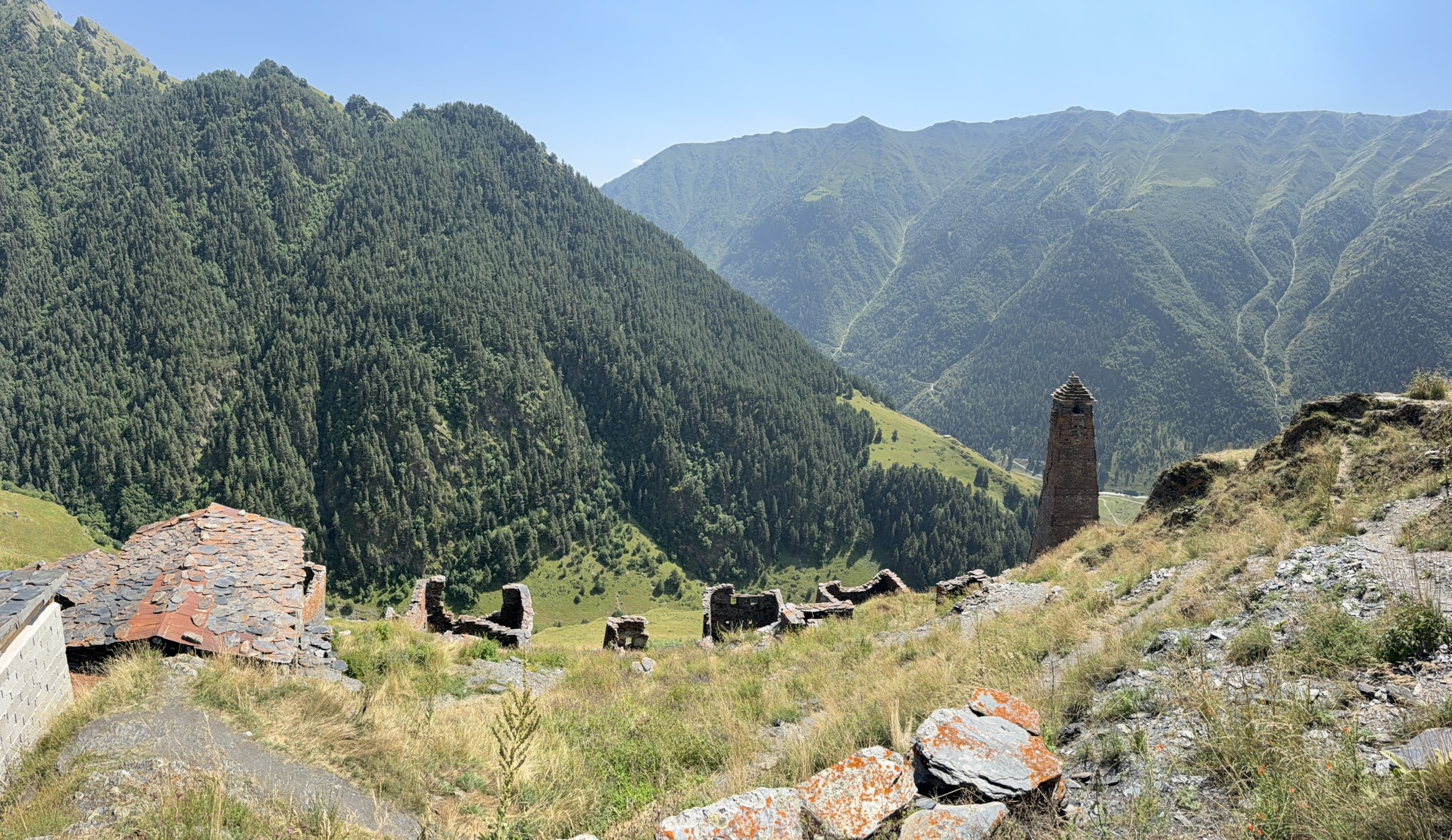
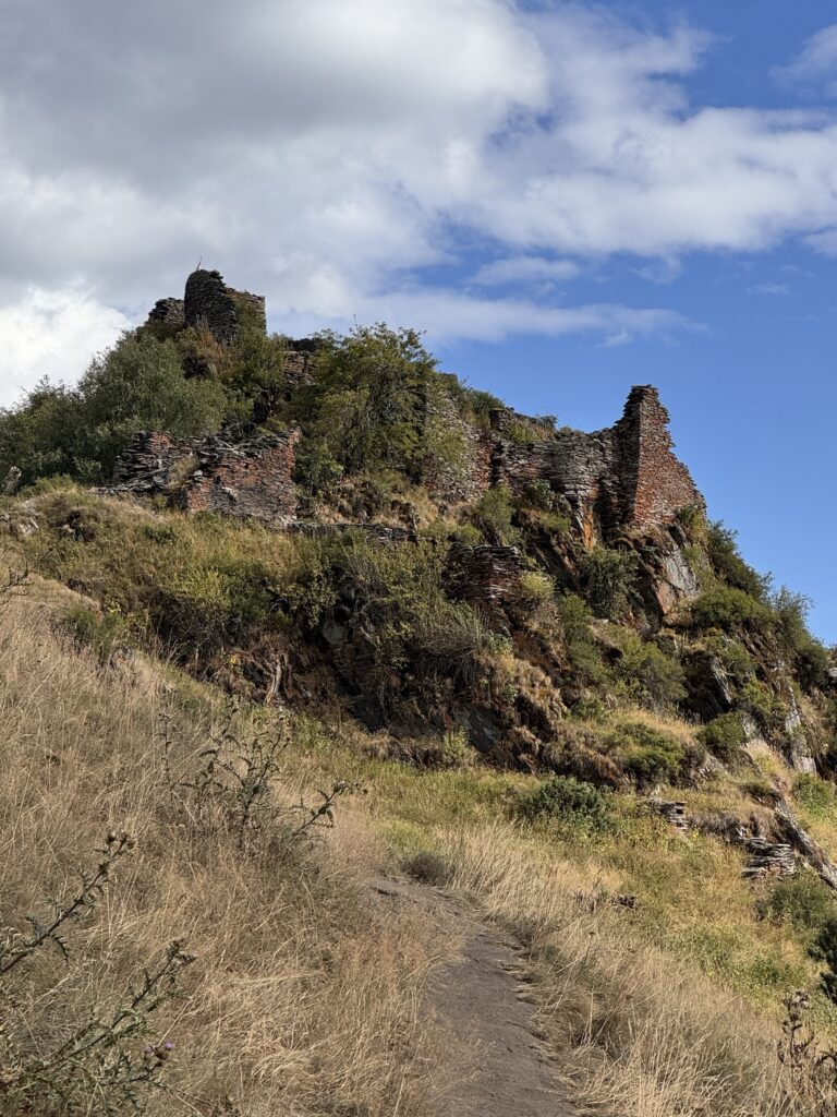
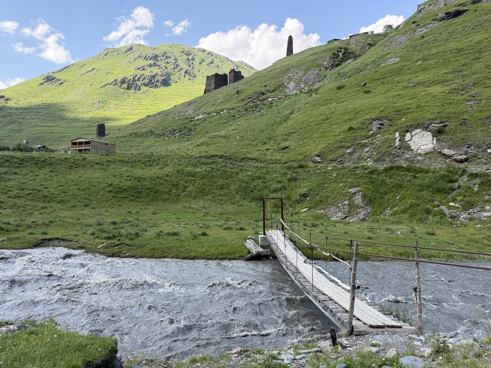
Sooo most might not call this a “hike,” but it depends on where you choose to start from 🙂 You can start from the village of Diklo and hike along a dirt road to the fortress. This is an approx 5km out and back along a level path/road, taking you approx 1.5-2hrs. Or, if you have your own transportation you can drive along this road to park your vehicle and then walk approximately 1 km out and back to visit the fortress, called “old Diklo” by the locals. This is a great option for families with kids of all ages! You can ascend into the fortress for beautiful views towards Dagestan and two abandoned Tushetian villages that are sometimes used as shepherds camps. And even if you choose not to climb up into the fortress ruins there are still beautiful views to take in all around you.
*NOTE: Diklo fortress is located in a border zone, so it is important to take your passport or identification card with you and to check in with the border guards before going to the fortress.
Dochu Village
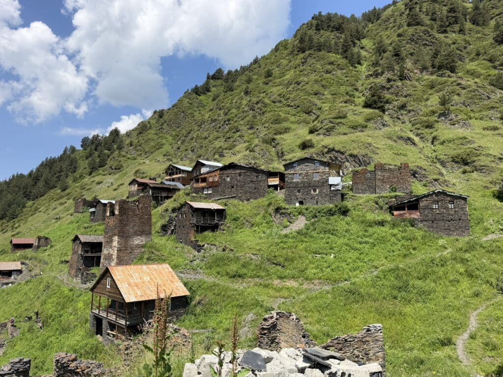
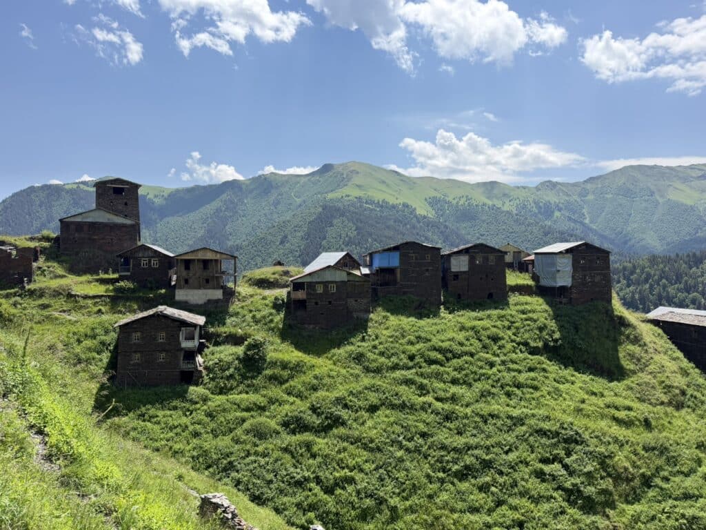
Another excellent option for families with kids! Dochu is a unique village in Gometsari Valley. In fact, if you didn’t know about it you would completely miss it because it’s not visible from the road! Dochu is nestled against two different hillsides rather than being one more consolidated village as most others are. It is accessible by either gently descending 1.5 km along a dirt road from the main road, then down the trail into the village. For those who want a slightly greater challenge there is a small, but steep trail from the main road that then joins the trail into the village. There’s a small stream and water cascade as you approach the village which is a great little picnic spot. On our first visit (early July), no one was in the village, but its probable that later in the summer there are families who visit and stay there for a time, especially during the various Tushetian holidays in August. Depending on your walking pace, or how long you choose to explore or to sit and rest in the village, this should take a maximum of around 2 hours.
Dartlo – Kvavlo (optional Dano add-on)
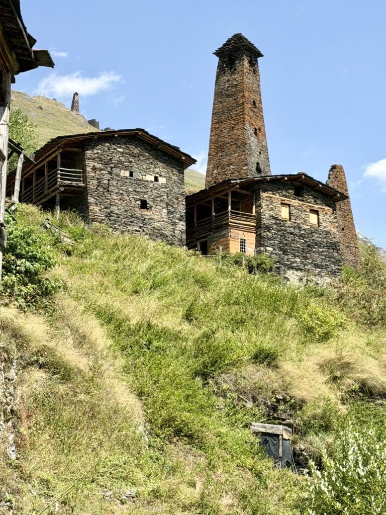
Since most people want to visit Dartlo anyway because of its picturesqueness, unique architecture, and remaining full towers, it is HIGHLY recommended to take the short hike up to the village of Kvavlo. It may look intimidating at first because of the elevation change, but the 1.7 km trail up from Dartlo has many switchbacks making it a gentle ascent. While you can wind your way through Dartlo, the best place to start is to the left of Qetos guest house or to right of Pirimze guest house
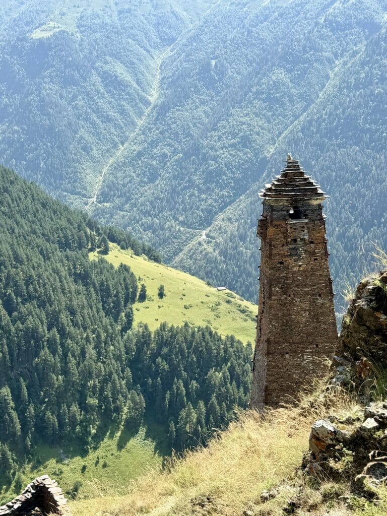
Kvavlo also has a full standing tower and many ruins of the ancient village intact, unlike many others in Tusheti, unfortunately. There are 2 guest houses/cafes in Kvavlo, each with excellent views and serving traditional Tushetian foods (kotori, khinkali) and other light snacks and drinks. In August and September be sure to try aludi – traditional Tushetian non-alcoholic beer. In order to get closer views of the tower, you simply pass through the yard of the upper guesthouse/cafe. This hike is also a great option for families with children! You may just need to allow a little more time on the ascent, but it is certainly doable for people of all ages and abilities 🙂
There are 2 options for this day hike:
1) Out-and-Back starting from Dartlo ascending up to Kvavlo then descending by the same trail back to Dartlo. The total distance is ~3.4 km, taking a maximum of 2 hrs, depending on your ascending pace and how long you choose to explore among the ruins.
2) A loop trail, starting from Dartlo and ascending to Kvavlo, then continuing along a pleasant level trail past guesthouse Bachaki then along a dirt road to the village of Dano, before gradually descending by dirt road back to Dartlo. Total distance ~7.5km, taking around 2.5 hours, depending on your ascending pace and how long you choose to explore among the ruins.
*NOTE: some mapping applications will show a descending trail from guesthouse Bachaki, midway between Kvavlo and Dano, but this trail does not exist in reality. There is only a very steep descent into a gully, so it is not recommended to attempt to descend back to Dartlo this way.
Oreti Lake
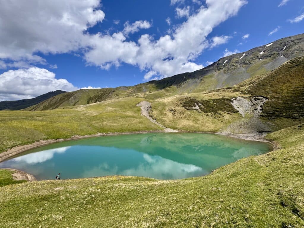
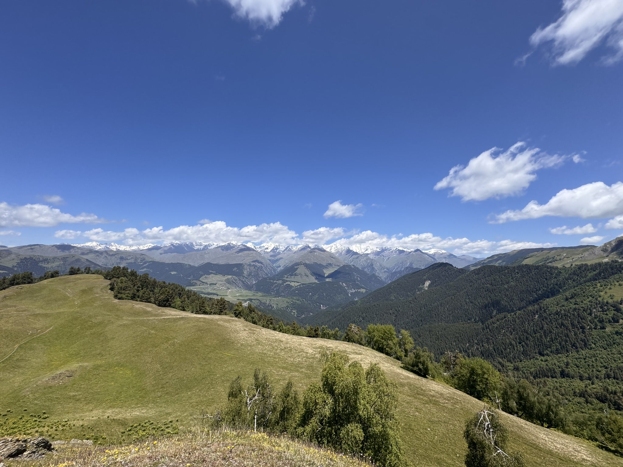
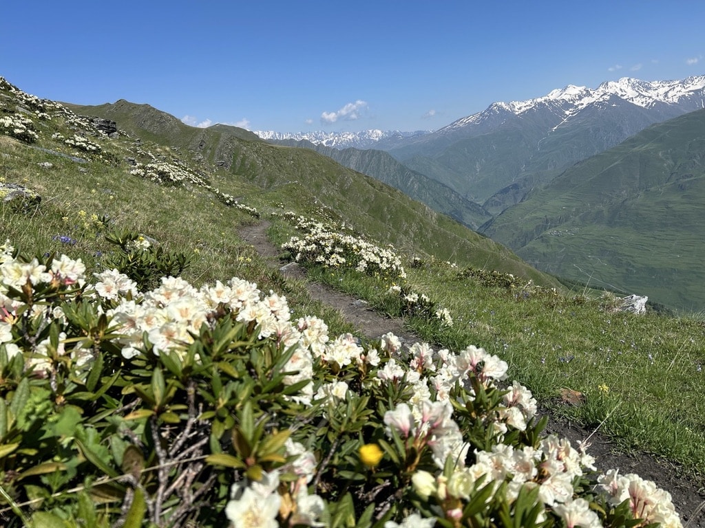
This is a more difficult day hike, but one well worth it because the views of the Greater Caucasus Mountains are simply stunning, especially in June when they are still covered in snow.
This is a 13 km out and back (or up and down!) hike, starting at the edge of the forest between the villages of Kumelaurta and Tsokalta, requiring a minimum of 6 hours for completion. The first 2 km are a really steep ascent through evergreen forest. Then it levels out a bit through a beautiful meadow past a summer shepherd’s camp. Early in the season you may even encounter the shepherds and/or observe cheese making process or sheep shearing!
From this point there are beautiful views of the Greater Caucasus Mountains and in the mid to late summer many wildflowers can be found here. You’ll then have another gradual incline to an amazing vista point – an excellent place for snack break and photos! From here you continue another approx 1.5 km across grassy fields with slight incline at times as you near the lake. You cross a small stream from which you can also refill your water (the only place on this hike to do so as the lake water is not clean for drinking). In July, the Caucasian rhododendrons are usually in full bloom. Oreti Lake is a beautiful green blue color, very clean, and yet, like most high elevation mountain lakes, VERY COLD! It’s an excellent place to sit and rest, enjoy a picnic, and take in the views. There’s also many great, level places for pitching a tent if you decide to make it an overnight hike (though this is not necessary).
Nakaicho Pass
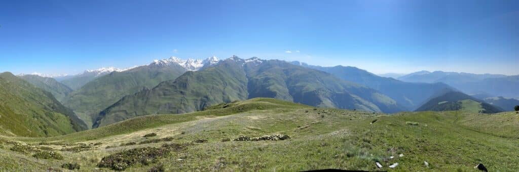
This day hike is also in the difficult category, but definitely worth the effort for the views into both the Pirikitri and Gometsari Valleys, as you parallel the Greater Caucasus Mountain Range. It is also a bit more complicated logistically, as you either need someone to drop you off and pick you up in separate locations or you need to leave your vehicle at the start and either hitchhike from the finishing point or arrange for a driver to pick you up and take you back to your vehicle. Despite this small inconvenience, the 360 degree views are most certainly worth it and this would be my top single day recommendation for a true trekking experience in Tusheti.
This hike starts from the Ghele Cafe with a steep ascent up to Ghele, from which point you have 360 degree views into Pirikitri, Gometsari, and Chanchakhovani Valleys. Your ascent continues, then you have some pleasant rolling inclines and declines along the ridgeline to the Nakaicho Pass (2,903 meters). This trail is one of the better well-marked and easy to navigate as compared to other trails in Georgia. From the pass you can descend to Jvarboseli village into Gometsari or to Parsma Village in the Pirikitri Valley. In total it’s a ~19km hike, with the highest point being Peak Pitsilanta (2,995 meters). The descent into Parsma is steep, but with many switchbacks, making it easier to traverse. The final 1.5 km is a level path along the river before you cross the bridge into Parsma, where there is a lovely little cafe selling cold drinks, snacks, and traditional Tushetian foods. It’s a great place to finish and refuel after such an intense expenditure of energy! *NOTE: We haven’t yet personally tested out the descent into Jvarboseli, but our local guides recommend descending into Parsma.
Hiking Tips and Trail Etiquette
- These trails are accessible from mid-June – September. However, it is important to note that some years Tusheti is not accessible until early July. It all depends on the amount of winter snowfall as well as the amount of rainfall in the spring.
- Enjoying the day/scenery and hiking at a slower pace? No problem! But it is proper etiquette to move over when there is a safe stopping place to let others pass you
- Meeting people along the trail? It is always better to yield to those coming uphill
- Always check the weather before you go & be prepared with rain gear — the weather in these mountains can change super quickly
- Always have a hiking buddy with you! If you’re set on hiking solo, make sure someone knows where you are going and approx what time you will return.
- Watch out for dogs! You may encounter shepherds with their flocks of sheep, especially to Oreti Lake and on Nakaicho Pass, who will have at least one Caucasus shepherd dog. They tend to be VERY protective of their sheep and shepherd, so be very cautious and avoid them if at all possible.
Things to take with you, regardless of the length of the hike:
- WATER – on the longer hikes above there are few places to find fresh water to refill your bottle, so you should also start with at least 1.5-2 liters of water, especially on a warmer sunny day. In our experience even a 20-25 degree Celsius day with sunshine can dehydrate you quickly.
- Small snack – or lunch depending on the length of your hike (remember in Tusheti pork products are prohibited)
- Phone – how else can you take beautiful pictures! But also in the event of an emergency. There is cell reception almost everywhere on these hikes, with a few exceptions of some pockets where you might lose service.
- Small first aid kit with basic bandages, blister pads, medical tape, etc.
- Hand sanitizer and wet wipes
- SUNSCREEN!
- Hat and/or sunglasses
- Rain jacket – the weather changes fast in the mountains so never leave without this article in your pack, regardless of the length of the hike
- A map of some type – could be paper or downloaded through your offline mapping app of choice (Wikiloc, Maps.me, etc)
- Hiking poles – especially for the longer hikes and those with steeper ascents and descents. They really can be a big help to ease the stress put on your knees!
- A power bank and charging cord
- In September, the temps can be lower at these altitudes, so it is recommended to have a warmer jacket (ie a puffy), beanie, & gloves in your pack
Intrigued to know more about Georgia’s most remote mountain region??
Check out our Tusheti Travel Guide for more details about how to get there, other sites to see, and best practices for preparing for a trip to Tusheti. Then contact us and we’ll help organize an all-inclusive stay for you in Tusheti, including lodging, meals, and a local driver. Let us take care of all the planning, so you can relax and drink in the wild, rugged beauty all around you.