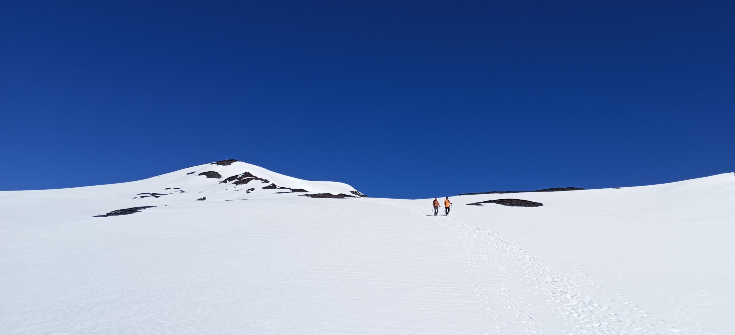
So maybe you’re not quite ready for a large undertaking of mountaineering like Mt Kazbek (5054m / 16,581ft), but you love trekking and being in beautiful mountain regions. Then climbing Mount Bazarduzu in Azerbaijan just might be your next mountain endeavor!
Mount Bazarduzu (4466m / 14,652ft) is the highest peak in Azerbaijan, situated in the Shahdag National Park on the border with Dagestan, Russia. To access this area, you must hire a local mountain guide and apply for special permits from the Federal National Park Service.
The terrain of Bazarduzu and several of the surrounding peaks is unique. It’s not lush green or grassy. But it’s also not jagged, dry rocks. These mountains are formed from a dark slate-like rock, that has the feel of sand as you traverse them. This actually makes for really good grip on both ascent and descent! Snow covers the peak and upper portions of Mount Bazarduzu most of the year, but it’s not deep in the summer months and easily walked across without crampons.
Though Mount Bazarduzu is not a technical climb and suitable for most individuals regardless of experience level, since it is a 4000+ meter peak it is always recommended to have prior acclimatization and training, regardless of the fact that most all mountain guides incorporate at least one acclimatization hike into their program. As we have learned from personal experience, prior preparation makes the climb that much “easier” and all the better for the climber physically, mentally, and emotionally.
I climbed Bazarduzu with our local Azerbaijan partners in July 2024. Below you’ll find a breakdown of my experience that we hope will excite and prepare you for your own Mount Bazarduzu climb!
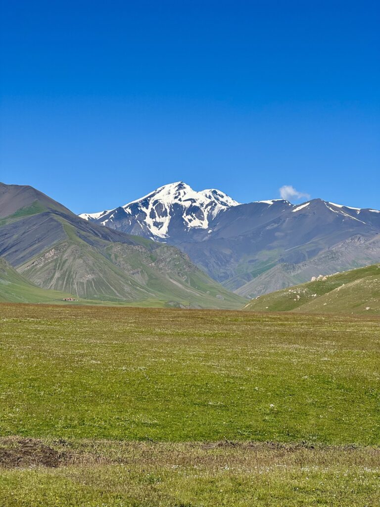
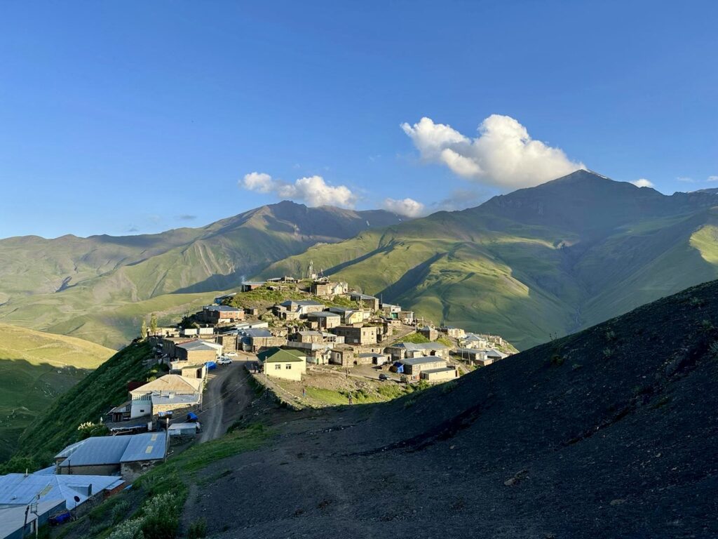
Day 1: Baku to Khinalig & acclimatization hike
On the first day we departed from Baku for Khinalig (~five hour drive), stopping in Quba for additional supplies and a quick roadside lunch of Lezgin qutab, homemade yogurt, and (of course) Azerbaijani samovar tea. Qutab might be considered Azerbaijani “fast food,” though I would say it’s much preferable and healthier than your typical western fast food options. You can find these stands all over the mountain roads and other shops in towns and cities scattered throughout Azerbaijan. It’s a thin bread (lavash) rolled out and filled with meat, cheese, or greens; then it’s placed on a dome-shaped griddle to heat through before being served with sumac sprinkled on the top. Highly recommend this delicious treat!
We arrived in Khinalig in the early afternoon, stopping at the famous eagle top viewpoint over the village of Kalaykhudat for pictures of the valley spread below. We had a couple hours to rest in the guest house (and yes, drink more tea) and explore Khinalig before setting off for an 8km acclimatization hike to Peak Kharibulbul (2783m / 9,130ft). The guide uses this time to assess the experience level of the group so that he can determine an appropriate start time on summit day. Upon returning to the guest house we enjoyed a delicious traditional dinner by our hosts— lentil soup, bread, cucumber tomato salad, homemade yogurt (from goat’s milk!), homemade cheese, the traditional three sisters dish (stuffed peppers, eggplant, tomatoes), and homemade compote (juice).
Day 2: Khinalig to Base Camp and Acclimatization Hike #2
The next morning we departed around 8:00 a.m. for base camp in an old Soviet military truck. Think hayride but without the hay 😂. Truly these vehicles can go EVERYWHERE! And this worked to our benefit because we had to basically drive in the river due to a huge mudslide the week before that blocked the road. When the road is not damaged and with smaller groups, there are slightly more comfortable 4×4 vehicles that are used for transporting groups to base camp. We made two stops at the national park gates and with Federal Park Rangers to register our documents (a required formality that all climbers do), then continued on through the Shahdag National Park, stopping halfway at the Shayalag Plateau where Azerbaijan’s three highest peaks are all visible. Our guide shared that this plateau was previously a major trading center along the Silk Road between Persians, Azerbaijanis, Georgians, and Dagestanis.
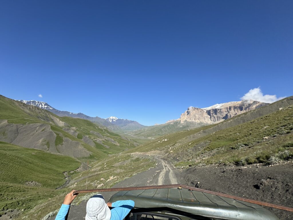
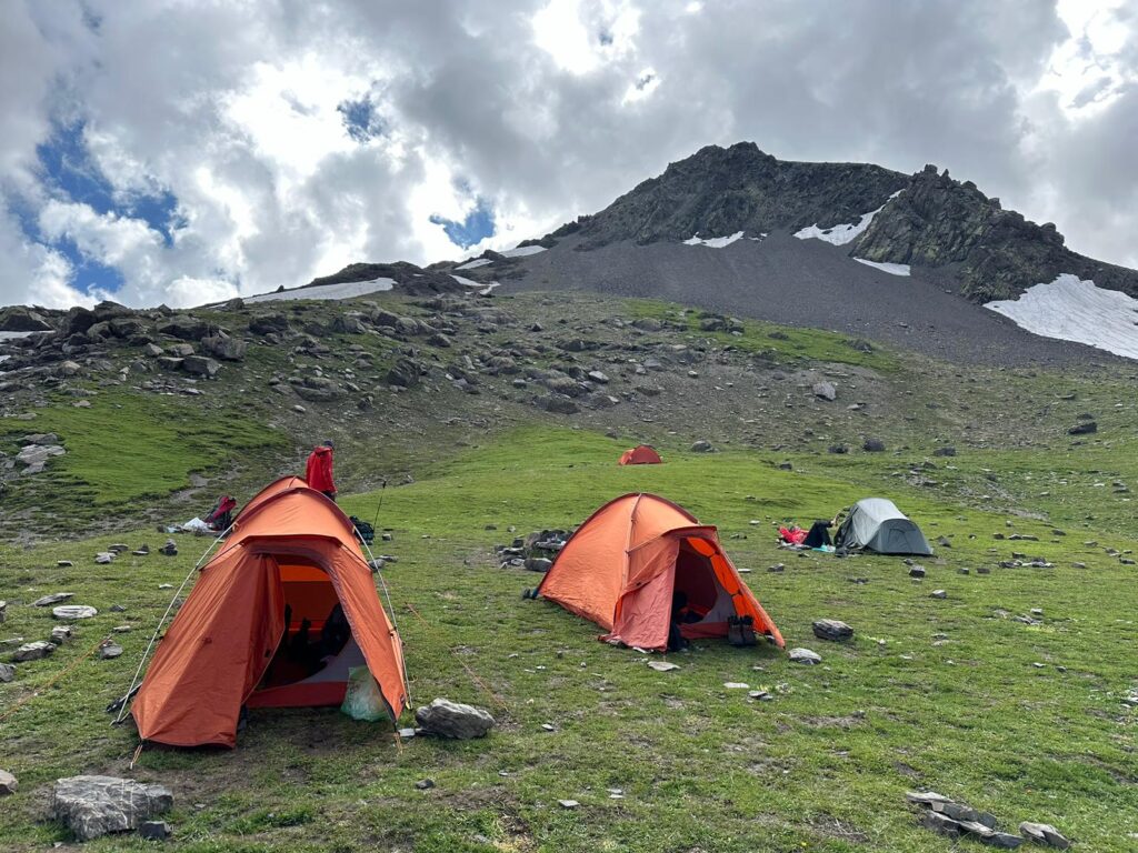
After a rather bumpy two hour drive with breathtaking views of lush green hillsides, high mountain peaks, shepherds’ summer settlements with their herds of sheep and goats scattered across the plains, we grabbed our packs and hiked 4km to basecamp. It’s a fairly level easy-going path, but there are at least two river crossings. This depends on how much rain and snow melt-off from the mountains has occurred. Basecamp is situated at ~3200m (10,498ft) and is about the only patch of green in the immediate area. There is a clean river water source next to basecamp. After setting up camp, eating lunch and having a short rest, we set off on a second acclimatization hike (two hours) to 3400m (11,154ft). This was an enjoyable evening taking in views of Peaks Olympia and Bazaryurt that tower above a small lake. From this point we could also see the path we would ascend the following morning. Back at camp we enjoyed some time talking as a group while making and eating dinner. But everyone called it an early night as our wake time for summit day would come early.
Day 3: Ascent of Mt. Bazarduzu & return to Khinalig
SUMMIT DAY started at 3:15 a.m. when my alarm went off. When I stepped out of the tent I couldn’t believe the number of stars in the pitch black sky. It certainly took my breath away. At 4:00 a.m. we started the slow, snaking ascent in the dark to Bazarduzu, climbing a total of 1200m (3,937ft) from camp step by step, one person behind the other. Our guide selected and held a pace that allowed for everyone in the group to stay together. It was super windy for the duration of our ascent and descent, but under sunny clear blue skies, I’ll take wind any day. For much of the ascent you can’t see your end goal. When the peak finally comes into view, it seems you’re so close! But in reality that last 800-1000 meters (2,624-3,280ft) takes about an hour to complete. Our group summited in five hours, but the timing of ascent is never standard, being dependent on the weather conditions and experience and preparation of each group member.
Bazarduzu’s peak is a wide, flat area covered in packed snow with breathtaking views into both Azerbaijan and Dagestan. Oddly enough there is no marker or sign that identifies the peak and its altitude. Very unusual in the world of trekking and mountaineering. From here you can see seven distinct Azerbaijani peaks: Shahdag (4243m / 13,921ft) , Yarudag (4116m / 13,504ft), Ragdan (4020m / 13,189ft), Zafar (4301m / 14,110ft), Olympia (3455m / 11,335ft), Bazayurd (4126m / 13,536ft), Tufandag (4191m / 13,750ft) and many other nameless peaks in both Azerbaijan and Dagestan. On clear days you can see into the Azerbaijani regions of Qusar, Ismaili, Gebala and much of the Shahdag National Park territory. You can also see the village of Kurush, the highest inhabited village in Dagestan.
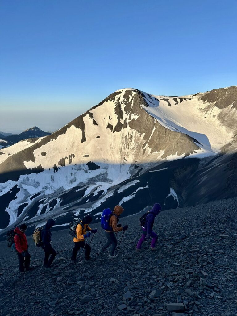
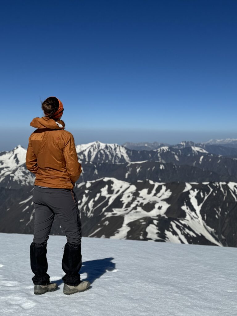
Our descent flew by (literally!) as we made camp in just over two hours (again this is dependent on many factors and not a standard timeframe). Given the sandy slate rock terrain, we could quickly “ski” down the steep portion we had so slowly zig-zagged up the mountain. It was equally exhilarating and terrifying haha We had about an hour to rest and pack up camp before hiking the 4km back out to meet our ride back to Khinalig. We bumped along the two hours back to the guest house before meeting our driver who would take us back to Baku.
NOTE: Waking at 3:00 or 4:00 a.m. for a summit hike followed by trekking out and a bumpy two hour ride and then the five hour ride to the city makes for a rather long and exhausting day. Thus, we have developed a four-day program with our local partners to allow for a slower evening on Day 3 and extra time experiencing the local culture of Khinalig.
So what do you think? Are you ready to start planning your Azerbaijan mountain adventure?! Contact us today for more details and to lock in the dates of your future Bazarduzu summit.
~ Carmen and the Caucasus Quest Team

