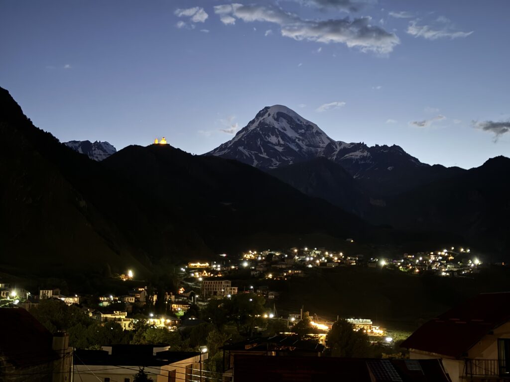
Prime hiking season in Kazbegi region is here for 2025!! (May-September) Whether you are an avid trekker, occasional hiker, or just an outdoor lover, there are hiking opportunities for you in this popular mountain destination in Georgia! We’ve selected the top 5 easiest-to-access day hikes from Stepantsminda for you to enjoy.
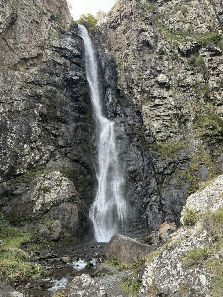
Gveleti Waterfalls
This out and back hike is located in the Dariali Gorge, an approximately 15 minute drive from the center of Stepantsminda and is one of the most popular outdoor destinations in Kazbegi for tourists of all kinds. The best part is you get more bang for your buck as it’s really two hikes and waterfalls in one outing!
Depending on where you park your vehicle or where your driver drops you off, the total distance hiked to both waterfalls is 3-4 kilometers. The turn off from the Georgia Military Highway is here and you can find parking anywhere along this dirt road, though the largest space for this can be found here. The hike starts on the road with a slight incline. You’ll see yellow hiking directional signs on the right for the trail to the Big Gveleti Waterfall. This trail is moderate in difficulty. There are some rocks to traverse and a final ascent to the best waterfall views, but it is certainly worth it! When you return to the road, continue up it a little further to the start of the trail to the Small Gveleti Waterfall. You’ll see a grassy plain and probably some delica drivers at this spot. Don’t let the word “small” fool you – it is a beautiful waterfall as well, just smaller in height. This trail is shorter and easier than the one to the big waterfall.
NOTE: This dirt road has lots of holes, large rocks, and crevices. It is not recommended to drive along it to the flat area at the start of the small waterfall trail, but to park at the location listed above. You’ll see lots of 4×4 delicas driving along this dirt road with tourists, who often are impatient when it comes to non-delica vehicles driving on this road since they constantly shuttle tourists to the start of the small waterfall trail. You’ll most likely meet many other people along these trails, unless you go early in the morning.
Arsha Waterfall
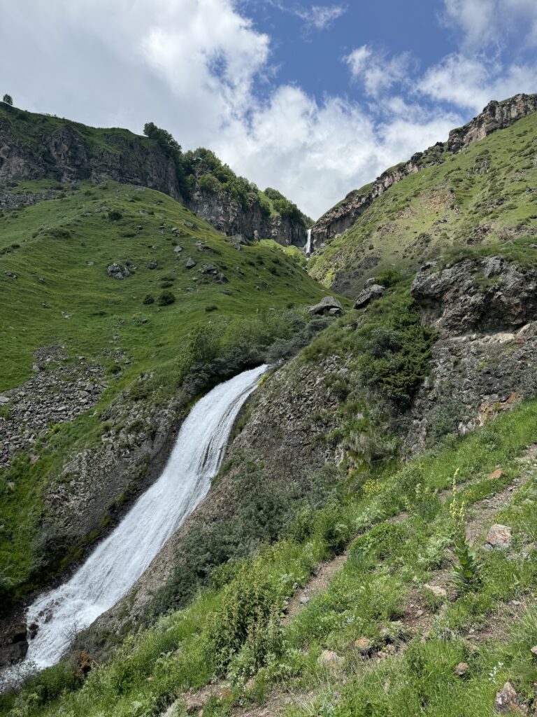
This waterfall is visible from the Georgia Military Highway as you pass through the small village of Arsha on the way to Stepantsminda. Few people know of and take the easy 1.5 kilometer out and back to this beautiful waterfall. The trail ascends gradually to the waterfall with views of the larger Toti Waterfall further behind it. Unfortunately there is no direct trail to Toti Waterfall, but there are beautiful views of it from several big rocks where you can sit for a snack, lunch, or tea break!
To reach the small parking area, turn left of the Georgia Military Highway here, cross the river and continue straight along this small, sometimes dirt/muddy road, past some A-frame cabins to the end of the road. You can park anywhere here and the trail starts here.
NOTE: For more serious/avid hikers, you can continue along the trail past the waterfall, winding upward to a ridge with great views of Mt Elias and the ruins of an old fortress. In the summer you’ll see shepherds along nearby ridges herding their sheep to higher green grazing pastures. There are trails from the village Toti which you can connect to from this point and continue to the Sabertse Pass, then on to Alithut or loop around down to Gergeti Trinity Church. However, this is a much longer, more difficult hike and is recommended only for experienced hikers. Be sure to plan for a full day of hiking if you choose to do this and ensure you have a good map system with you.
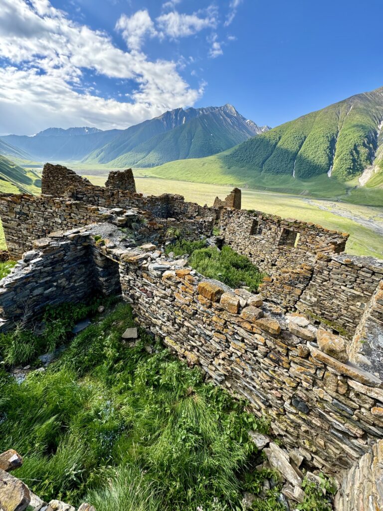
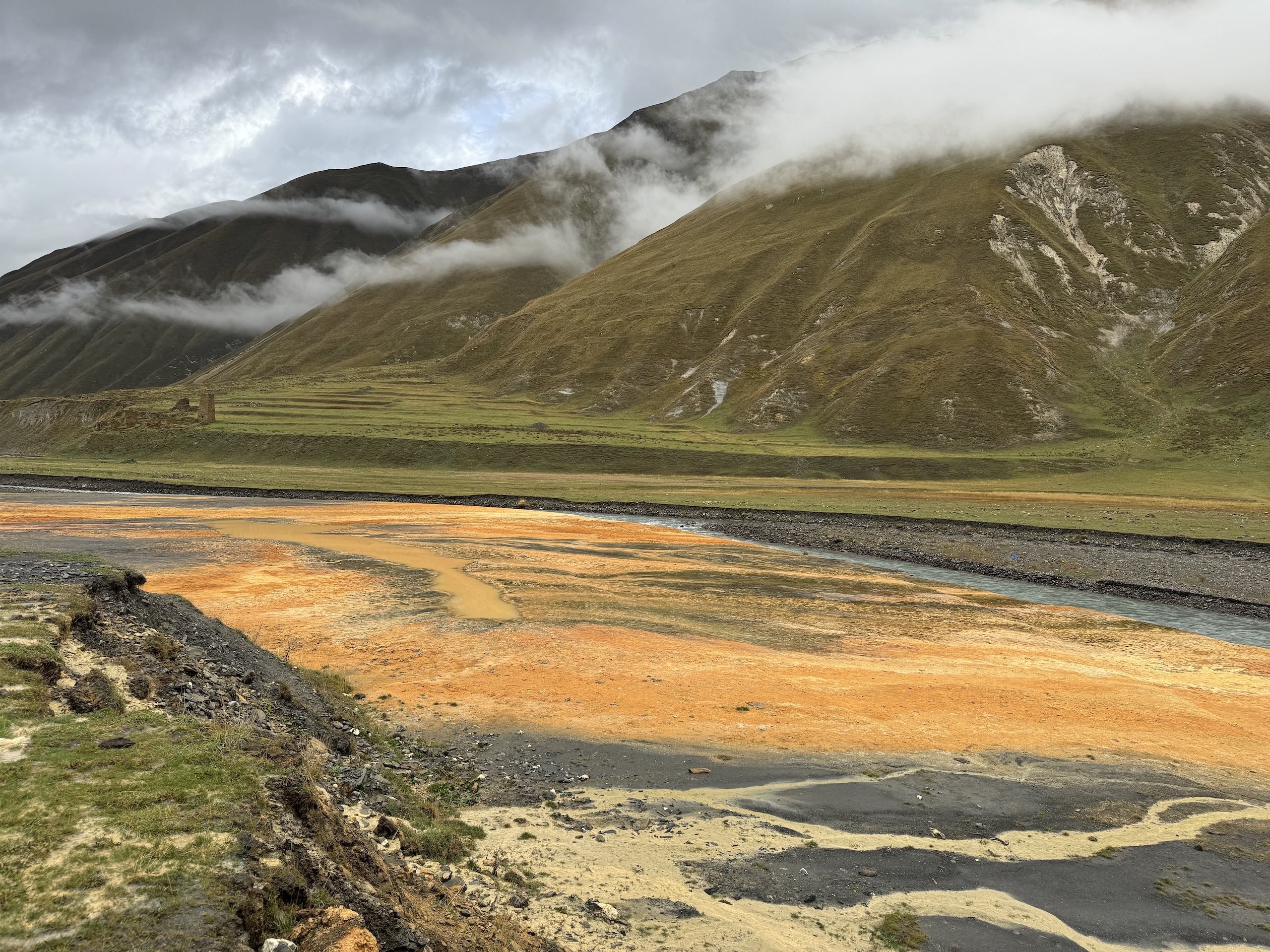
Truso Valley
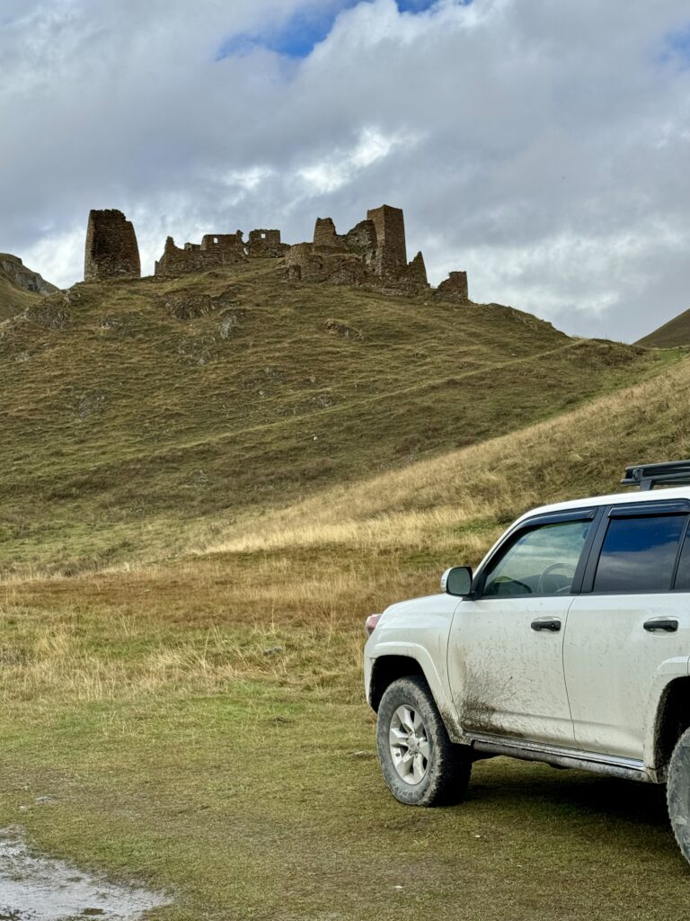
Certainly a favorite among tourists in Kazbegi region! There are multiple ways to experience the Truso Valley, with beautiful diverse scenery all along the way. The “trail” is a flat dirt road that winds through the valley. The total out and back distance to the Zakagori Fortress is 21 kilometers, winding along the Terek River, past travertines and ancient tower ruins, through abandoned villages, and past the Abano monastery and nunnery. It’s a great half to full day outing. If you have a 4×4 vehicle, you can drive all the way to the fortress and hike up to it from the road or you can drive just part of the way and enjoy walking along the road through the valley before ascending to the fortress. But if you’re on foot, you can choose your distance, hiking only to the first travertines, continuing to the second travertines in the village Ketrisi, or going all the way to the fortress.
To get to the start of this hike, travel south from Stepantsminda on the Georgia Military Highway, turning right here in the village of Almasiani, just past Kobi. For those familiar with skiing in the region, this is near the Kobi ski lift. Drive along the dirt road to a parking area here beside the river. NOTE: If you are driving further, you’ll continue to the right over the river then curve left to continue on the dirt road that winds align the right side of the river. Be mindful that this is a narrow dirt road with many deep holes, large rocks, and crevices. If you choose to drive through the valley, it is recommended to have a 4×4 vehicle with high clearance.
The Abano nunnery runs a small cafe and guesthouse. It is a great place to stop for tea/coffee, refill water bottles, or have a light lunch. You can also purchase honey made locally at the Abano monastery.
NOTE: If you continue beyond the fortress, whether by 4×4 vehicle or on foot, you must check in at the border zone station with the guards and receive a special pass, as this area lies on the border with South Ossetia, a Russian province. Pay close attention to signs that indicate where the border zone begins and also those that indicate where the official border lies.
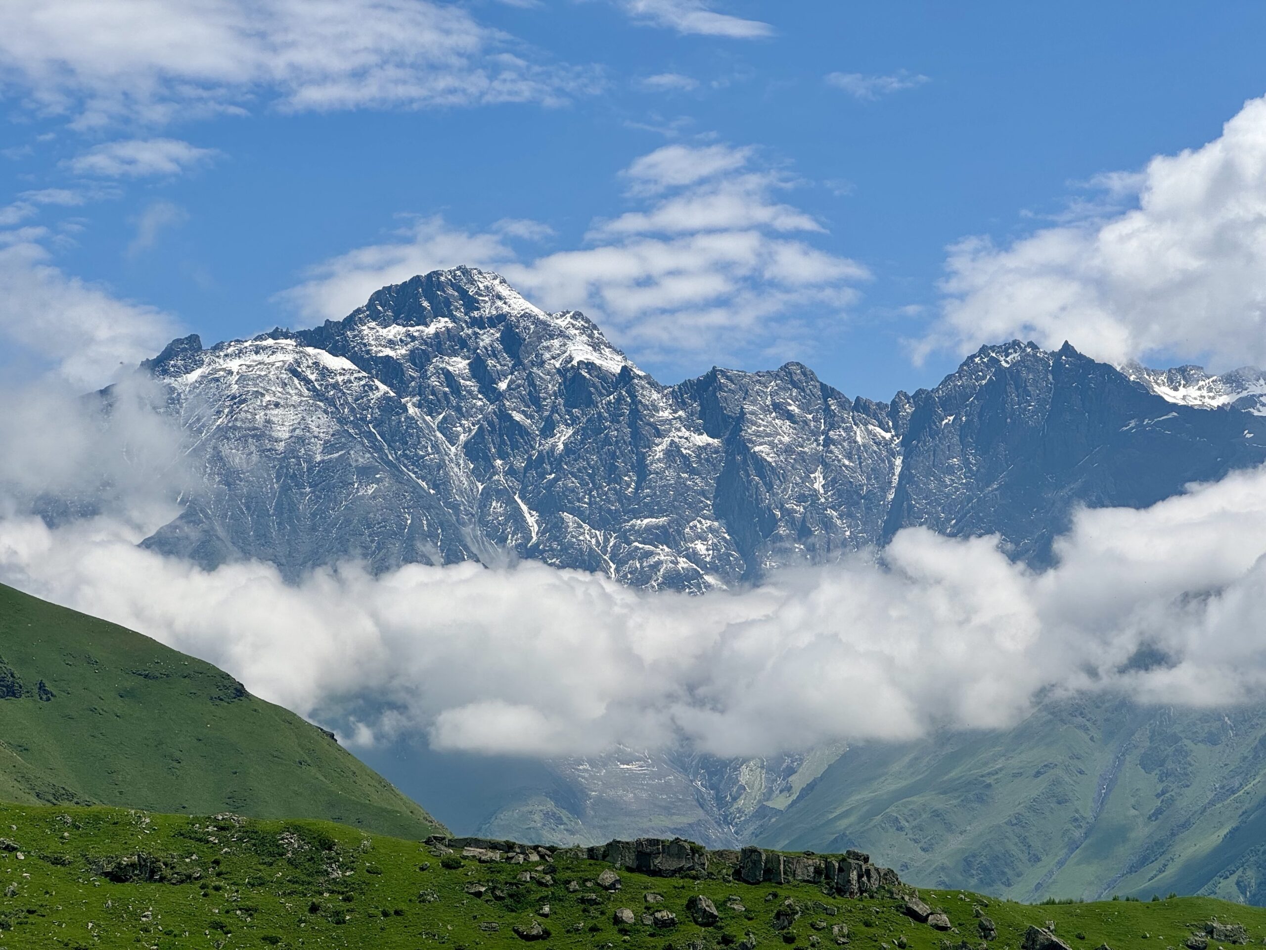
Juta to Base of Mt. Chaukhi
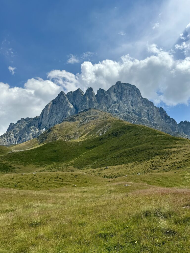
Juta is also a well-known, oft visited area of Kazbegi, mostly for views of Chaukhi Mountain, also known as the “Georgian Dolomites.” From the village of Juta you continue into a wide basin with mountains surrounding it, views of Chaukhi Mountain ahead of you the entire way. There’s a river that runs through the middle of this basin and a small lake at the foot of Chaukhi with great views. It’s an excellent picnic spot! This is an easy hike and a great way to spend half or a full day, depending on the time of year. It’s approximately 4km to the lake, but you can continue for another 3km to the base of the ascent to Chaukhi Pass. From the final guesthouse/hotel, Fifth Season, there are multiple trails that wind through the basin. Take any that you like; they all have great views and go toward the mountain. If you stay to the left, you’ll pass a small waterfall and avoid having to cross through the river, which can sometimes be high and fast flowing.
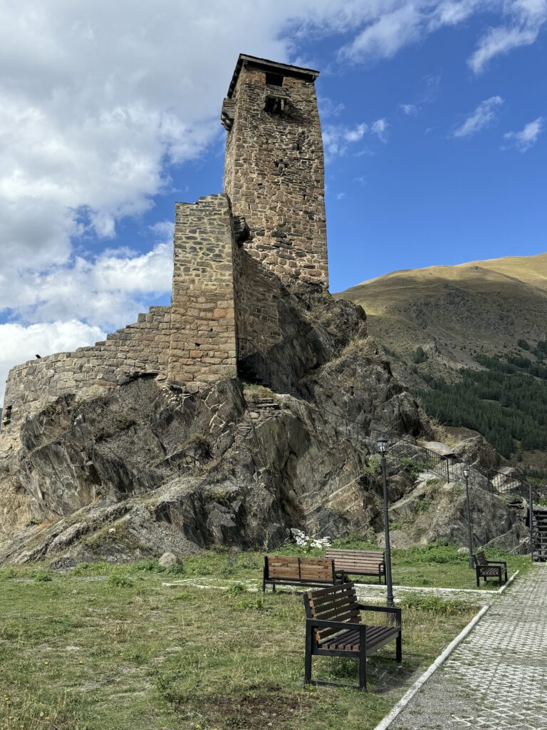
From Stepantsminda, you’ll need to allow approx. 45 minutes by car. To get to the start of the trail, travel south along the Georgia Military Highway, turning left at the sign for Sno & Juta. Continue along this road until it ends (in Juta) and park where you can along the road, somewhere around here. If you have your own transportation be sure to stop in the village Sno on the way and check out its defensive tower and the mysterious stone head statues!
NOTE: For more serious/avid hikers, you can continue up the steep ascent to Chaukhi Pass, for views of the Abedelauri Lakes in Khevsureti region. This would be approx 17.5km out and back hike from Juta. If you’re not staying in Kazbegi and don’t have your own transportation you could descend from Chaukhi Pass and continue on to Roshka (total hike ~20km) where you can find a taxi or marshrutka to your final destination. Be mindful that this would be a FULL day and the change in elevation is ~1300m.
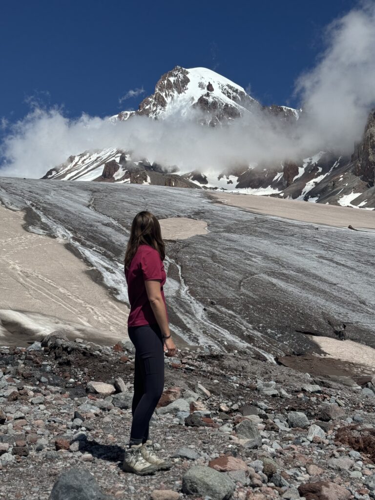
Gergeti Glacier
This one is not for the faint of heart! If starting from the Gergeti parking lot this will be a 16km out and back hike. If you start from the center of Stepantmsinda, it will be a 21km hike. The hardest part is actually in the beginning, as you ascend to the Sabertse Pass (2900m), distinguished by the granite cross. This is an excellent photo opp location you don’t want to miss! From the parking lot you immediately begin a steep vertical climb, gradually increasing in altitude to the pass. At the pass there is now a small cafe that is open with great views of Mt Kazbek and plenty of nice space for a rest or snack/lunch stop.
From the pass your gain in elevation will be much less, only 400m in total elevation change to the glacier. You’ll continue 1.5km along the trail to first base camp, which is a nice rest stop as well, then continue another 1.5km to the glacier.
NOTE: For more serious/avid hikers, you could technically continue on to Meteo Station, Mt Kazbek’s 2nd base camp, but this would be a LOOONG day hike. In the summer it’s more possible for experienced trekkers in top physical condition because there are plenty of daylight hours. But it would still be recommended to start before dawn to ensure you don’t get caught in a storm. It is also advisable to have crampons for your boots and experience with walking on a glacier.
Hiking Tips and Trail Etiquette
- Enjoying the day/scenery and hiking at a slower pace? No problem! But it is proper etiquette to move over when there is a safe stopping place to let others pass you
- Meeting people along the trail? It is always better to yield to those coming uphill
- Always check the weather before you go – afternoon storms are common in this region and often include intense thunder, lightning, & hail
- Always have a hiking buddy with you! If you’re set on hiking solo, make sure someone knows where you are going and approx what time you will return.
- Watch out for dogs! Especially in the summer you may encounter shepherds with their flocks of sheep, who will have at least one Caucasus shepherd dog. They tend to be VERY protective of their sheep and shepherd, so be very cautious and avoid them if at all possible.
- Hogweed and stinging nettles are ABUNDANT in this region, so it is wise to hike in long pants and even long sleeves in some locations, especially in the summer months when they are in full “bloom.” Be sure to know what these plants look like and take precautions to avoid touching them.
- There is often still snow in the mountains in April and May and the first snowfall can happen in October, especially on the Gergeti Glacier trail and if ascending to the Chaukhi pass. It is recommended to traverse these hikes June – September.
Things to take with you, regardless of the length of the hike:
- WATER – on the longer hikes above there are places to find fresh water to refill your bottle, but you should also start with at least 1-2 liters of water.
- Small snack – or lunch depending on the length of your hike
- Phone – how else can you take beautiful pictures! But also in the event of an emergency. There is cell reception almost everywhere on these hikes, with a few exceptions of some pockets where you might lose service.
- Small first aid kit with basic bandages, blister pads, medical tape, etc.
- Hand sanitizer and wet wipes
- SUNSCREEN!
- Hat and/or sunglasses
- Rain jacket – the weather changes fast in the mountains so never leave without this article in your pack, regardless of the length of the hike
- A map of some type – could be paper or downloaded through your offline mapping app of choice (Wikiloc, Maps.me, etc)
- Hiking poles – especially for the longer hikes and those with steeper ascents and descents. They really can be a big help to ease the stress put on your knees!
- A power bank and charging cord
- In spring, early summer, & fall temps can be lower at these altitudes, so it is recommended to have a warmer jacket (ie a puffy), beanie, & gloves in your pack
- A flashlight or headlamp – for the longer hikes and if going in spring or fall when there are fewer daylight hours
How do you get to these places??
There are multiple options for getting from Tbilisi to Stepantsminda, which is the best central location for accessing each of these hikes.
- Whether you have your own transportation or choose to rent a car in Tbilisi, you can drive yourself from the north side of Tbilisi along the beautiful, scenic Georgia Military Highway. If you’re not in a hurry be sure to take time to stop at the many interesting places along the way! (Ananuri Fortress, Zhinvali Reservoir, Pasanauri – where the White & Black Aragvi Rivers meet and for some delicious khinkali!)
- You can take a marshrutka (minibus) or taxi to and from Stepantsminda. Marshrutkas leave from Didube Bus Station in Tbilisi almost hourly from 8:00am to 7:00pm. Marshrutkas return to Tbilisi from the main square in Stepantsminda almost hourly from 7:00am to 6:00pm. This will cost approx 15 GEL per person each direction. Pro Tip: arrive at least 15 min before departure time and have cash on hand.
- At these same locations you can also find a shared taxi for 40-60 GEL per person. Cars will leave as soon as the seats fill up or you can buy out the empty seats.
- You can book a private driver through various apps, such as GoTrip.
Once in Stepantsminda:
- If you don’t have your own transportation, there are an abundance of delica drivers you can hire to take you to most of these locations. Pro Tip: negotiate your price before you start the trip.
- Mountain Freaks, a local mountain guiding company in Stepantsminda, offers transportation to/from Juta and Truso Valley for a fee with set departure and return times
- Depending on where you are staying, your hosts may be able to help arrange transportation for you to various trailheads.
What about families with children??
Most of these hikes are GREAT for families with children! Our recommendations are Gveleti Waterfalls, Arsha Waterfall, Truso Valley (maybe not the whole distance), & Juta into the valley at the base of Chaukhi Mountain.
So…when will YOU travel to Kazbegi to experience some natural beauty of the Caucasus???
Contact us today and we’ll help organize an all-inclusive stay for you in Stepantsminda, including lodging, meals, and a local driver. Let us take care of all the planning, so you can relax and simply enjoy Georgia’s beautiful nature.